by: Adria Magrath
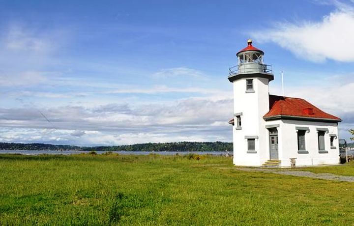
Maury Island’s easternmost point evokes delight for the variety of habitats and natural splendor of its hillsides and beaches. It is a destination for birders, for watching our famed orca, or just taking pictures by the lovely lighthouse. Yet, most visitors may never guess that the landforms of Pt. Robinson have been vastly altered from when its first light station became operational in 1887.

Point Robinson Lighthouse in 1894. photo courtesy US Coast Guard archives.
The earliest surveys we have on hand at our local library show that in 1882 the point was mostly a cobble and gravel barrier spit, separated from the steep bluffs by a generous salt marsh. This historical marsh was probably a lot like the salt marsh at KVI beach, otherwise known as Point Heyer, the largest salt marsh remaining in the county. Within a decade of those first surveys, a large bulkhead was built bisecting the marsh to stop the influx of seawater and facilitate development of a stable site suitable for building. This enabled the lighthouse we see today to be built in 1915 and eventually the Coast Guard installed the large radar antennas in the fields behind the lighthouse.
This intervention wasn’t without consequences however, and it didn’t take long for the blocked estuary to accumulate silty substrate and the northern shore to accrete with large driftwood logs. The large saltmarsh quickly shrank and is referred to on all subsequent surveys as first a “lagoon” and then a “swamp”; language that reflects early settlers’ fear of the health dangers associated with brackish water. This fear was not without merit given that mosquito-borne malaria in the eastern states had wiped out many early settlements. It was also a time, after all, when malaria was raging through the native populations in the lower Columbia and Willamette valleys. By most accounts, nine out of ten natives perished from outbreaks of this disease borne west by white settlers. So in an attempt to control disease, a big sluice machine, retired from leveling hills in Seattle, was brought by barge to Pt. Robinson and aimed to erode the steep cliffs into that now doomed lagoon.

Plan of Point Robinson showing the old “lagoon” or salt marsh area. courtesy King County Library.

Aerial photograph (ca. 1950; Courtesy U. S. Coast Guard) showing the continued natural periodic flooding in the area occupied historically by the salt marsh.
The topography of the park now shows a slumping forested area in the northwest where the bluff has collapsed and an atypical prairie over top of what was the old lagoon. Echoes of the past can still be seen at high tides when water fills a depression to the north of the lighthouse, and a little south, where the presence of salt marsh species in the vegetation indicates areas that still get exposed seawater beneath the surface. In other parts of the park, particularly near the access road, the lusher greens and stronger vegetative growth make evident the current water drainage patterns, and therefore continuing erosion, off the hillside.
At the shoreline, much of the beach remains cobble, but at low tides the rocks give way to sand and offer eelgrass beds filled with soft-bodied creatures too tiny to be seen unless you crouch close to their level. Please watch where you step! These beds are delicate nurseries.
In the future, King County may address restoring some of Pt. Robinson’s salt marsh habitat, although it would be many years from now. The idea would be to bring back some of the salt marsh by digging out an inlet and removing the fill. However, according to Greg Rabourn of King County Natural Resources, no major excavation work can happen until the Coast Guard abandons their antenna, due to the underground infrastructure associated with it. While there remains some near term potential for habitat restoration associated with the plantings, ultimately, the excavation work would allow a piece of the historic habitat to routinely fill and flush with seawater, supporting a greater diversity of plants, providing attractive habitat to migrating birds, and hopefully, to help bring back some of the feeder fish habitat crucial for the continued survival of Salmon.
Adria Magrath is on Vashon Nature Center’s Science Advisory Council and an island resident.
For more information on the history of Pt. Robinson lighthouse read this article by Bruce Haulman and Terry Donnelly.